Hollyford and Pyke Packrafting Loop

When I first looked at the map of the Hollyford & Pyke River it took me a moment to realise that the Pyke River flows away from the sea and in that moment I thought YES this trip is going to be ace...it's made for packrafts and beats the usual 10 day hike!

The loop is one of New Zealand's best multi day packrafting trips, a true classic achievable for most and set in an epic part of the country, Fiordland. Its a relativity low graded river class (I/II) broken up with some steady walking through native beech forests, coastal estuaries and beaches but best of all you start and finish at the same point. Thank you mother nature!

Our aim was to do the trip in 3 nights which is reasonably quick, people have done it in less but 4-5 nights would be the standard and in all honesty why rush it, this is one the of the most remote and beautiful places in the country. To achieve the trip in 3 days we needed to cover some good ground with a few key features in place. If there is a sea breeze across Lake McKerrow or incoming tide up the estuary and server weather then plans will need to change which may add extra time to the trip.

Below is a brief summery of our trip, we certainly had a bit of luck on our side and we feel that the times are reasonably quick as we didn't hang around too much - sandflies! We were also lucky to have the entire route and the huts to ourselves, not a single soul insight - all of the other packrafters in the country were at the annual meet in Lewis Pass!

Day 1: Road End to McKerrow Island Hut. 6hrs. 28km paddle

The paddle to McKerrow Island Hut is fairly straight forward, steady paddling with a few minor rapids. The main hazards here are log jams, which from a distance look to be somewhat problematic but once we got nearer a clear line through was obvious. We portaged the Little Homer Rapids class (III) on the true right as most people do, walking the short wet and muddy track to which people winch jet boats through the bush! The river then continues with its large steady flow all the way to the hut apart from the noticeable class (II) rapid, not long before the get out at Lake McKerrow.

Day 2: McKerrow Island Hut to Big Bay Hut. 10.5hrs. 21km paddle. 13km walk.

This day is the decider and was a somewhat unknown to how long it would take us to paddle across Lake McKerrow. We set off early to get ahead of any incoming sea breeze but luckily for us the breeze never came and we had a perfectly calm day - so much so we were able to paddle directly across the centre of the lake, taking the shortest line. If there is an inkling of a breeze its far safer to paddle close to the track, as more than likely if the breeze picks up walking would be the most efficient method. It took just under 4 hours to paddle across Lake McKerrow and another 2 hours, on high tide to reach Martin Bay hut - which is super quick!

After a wee rest and cuppa at Martins Bay Hut we decided to head to Big Bay Hut. Because of high tide we took the high track through the shrubbery and flaxes. This was tough going with lots of bush bashing and keen scouting skills. After an hour or so and to our relief we finally emerged onto the beach and much easier walking to Big Bay, because of the shorter days we reached the hut just after dark. The GPS was useful here!

Day 3: Big Bay Hut to Olivine Hut. 7.5hrs. 17km paddle. 12km walk.

We crossed the estuary in the packraft rather than walking up to the swing bridge, this saved us abit of time. The track onwards is relatively well defined but a tad overgrown in places. It was pretty wet this day and the track seemed to drag on and meander a fair bit but there is some wicked scenery amongst the dry river beds and the bird songs was awesome to hear. After leaving the hut 4 hours earlier we finally reached the Pyke River - excited for some paddling!

The Pyke had a good flow so we were able to get directly in the river. From here a fairly steady paddle down to Lake Wilmot, which only took us 30mins to cross with the tailwind. I loved the feel of the Pyke, it felt different from the Hollyford - abit more wild and this time you are paddling away from the sea and into the mountains so the landscaped changed with each stroke.

Eventually we reached Olivine Hut which is visible from the river. We had a few hours to spare before dark so we collected some firewood and I played around on the Cable Crossing and went for a refreshing dip with the sandflies! This was my favourite hut to which again we had to ourselves.

Day 4: Olivine Hut to Road End. 10hrs. 16km paddle. 18km walk

The final day, a big day which was also the highlight of our trip. We set of early amongst the erie morning river mist. The low cloud cleared and the sun began to shine as we hit Lake Alabaster. We couldn't believe our eyes when we got to the Lake it was like a sheet of glass, perfectly still and calm. The packrafts seemed to be floating on air above the crystal clear reflections of the mountains and forests around us. I'm not sure how often packrafters get to experiences these conditions here, but its certainly felt special.

Once over the lake, past Alabaster Hut and beyond the Pyke Lodge we anchored a deflated our rafts for the final time, the paddling was over and the last 5 hours on foot began. The track back to the Road End is very well trodden yet it was still tough work after a long trip. The heavy packs began to take their toll but between waterfall scenery stops and hits of dark chocolate we reached the final swing bridge and arrived at the exact point to where we set off a few days earlier. We had gone full circle and completed what has to be my favourite New Zealand packraft adventure.

Crew: Lee & Rory. 13th -16th April 2017

Cascade Saddle via Governors​ Ridge

There are many ways to tackle this classic alpine adventure, it can be combined with a multi-day hike over to the Dart Valley or a return trip from Mt Aspiring Hut, in summer the super fit can achieve the hike in a day from Raspberry Creek carpark! But if you have that extra bit of time and don't mind hauling a tent up the mountain - camping at Cascade Saddle is by far the best way to experience one of the most impressive settings in Mt Aspiring National Park.

Originally I had planned to ascend Mt Liverpool via Cascade Saddle but the forecast wasn't looking that great but I still decided to take my winter gear, just incase things cleared up.

Day 1: I set my sights on camping at the saddle itself, this was a tough day carrying a fully laden pack as the climb from Mt Aspiring hut is pure verticle thigh pumping goodness! Generally I found the route fairly steady in regards to technical difficulty, the climb does involve some hands on scrambling over a few exposed bluffs and in severe weather I can see why there is alot of emphasis on its difficulty, so caution must be taken - a camera must also be taken for that classic shot on The Pylon!

Once over the ridge there is a short descent down to Cascade Flat which hosts endless camping possibilities, with fresh water and even a toilet! I decided to push on that little further so I could witness the Dart Glacier and Governors Ridge in all its glory from one of the most stunning places i've pitched a tent! Raspberry Flat to Aspiring hut 1.5hrs. Aspiring hut to Cascade Saddle 4.5hrs

Day 2: The night was calm but once sunrise began the winds increased and the cloud cover lowered so at this point I knew my plans to the summit Mt Liverpool were over, but nonetheless I decided to see how far I could get up Governors Ridge and I'm glad I did, as the view from here must be one of the best in the valley.  I made it as far as the lower slopes of Plunket Dome before making the decision to turn around and head back via the same route. Cascade Saddle to Goverers Ridge 1hr. Cascade Saddle to Raspberry Flat 5hrs

Lee. 4th-5th February 2017.

screen-shot-2017-02-06-at-10-39-05-am.png

Rabbit Pass Mt Aspiring National Park

Up and up the bloody track went, give us a break, give me some flat ground! There's lots of talk about the Famous Waterfall Pitch on Rabbit Pass but not much mention of the monstrous uphill slog through the Beech forest, followed by an equally brutal 600m vertical descent on our final day, this to me, after a few days in the bush carrying a fully ladened pack is the final test piece of arguable one of the best walks in Aspiring National Park.

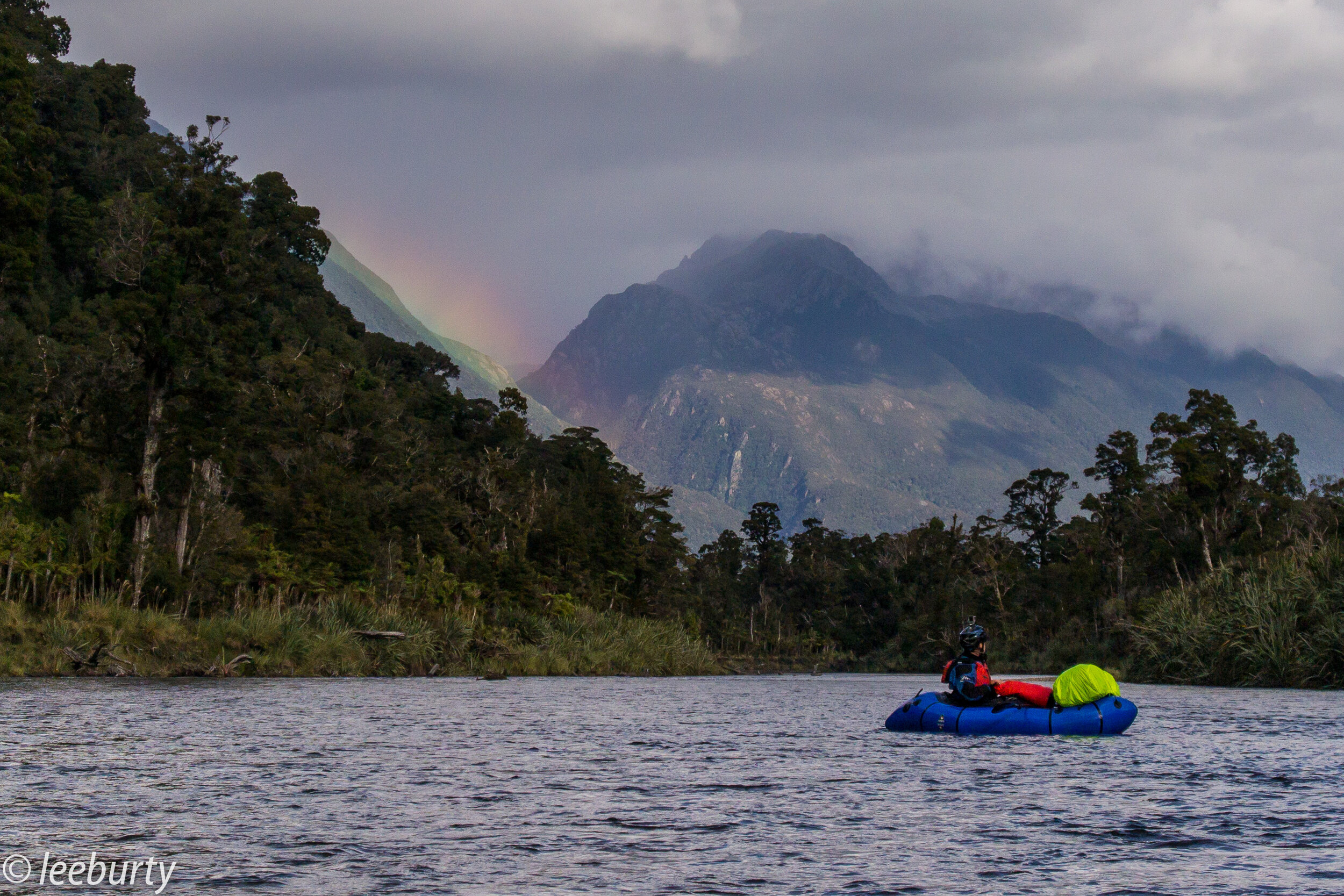
Rabbit Pass they call it, just to why it's called Rabbit Pass was a question on all our minds as the plane flew into Jumboland Flat. Surely any rabbit in their right mind would take the rather cruiser route along the shores of Lake Wanaka than head deep into the steep scree and tussock covered slopes of the Wilkin and Matukituki Valleys. Hopefully we would discover the answers to our thoughts as we follow their ancestral paw prints deep into this untouched wilderness.

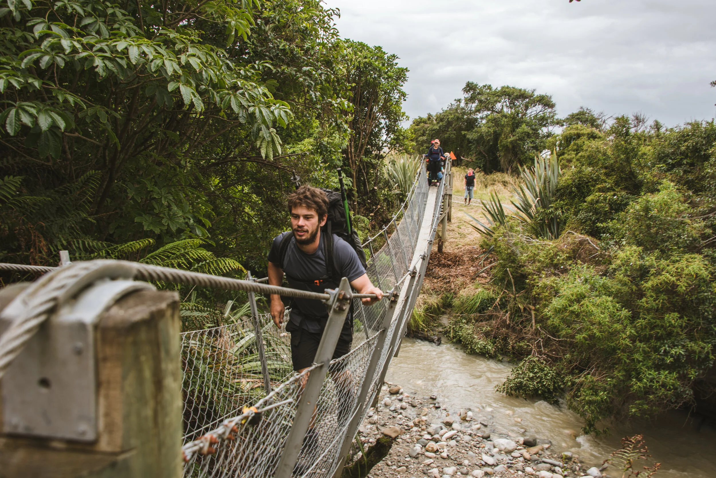
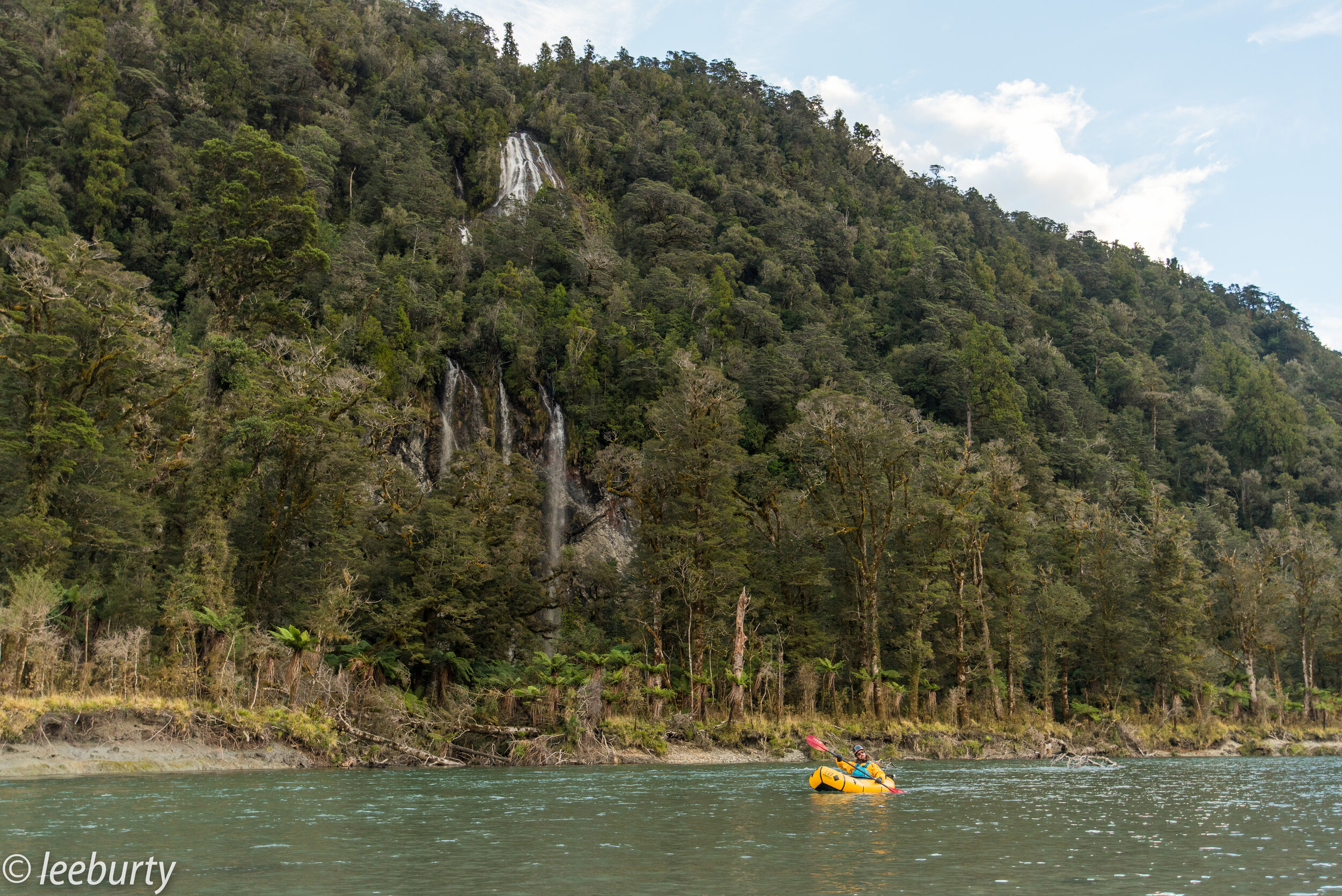
Day 1: We had only 3 days to tackle the traverse from Wilkin River to East Matukituki Branch, so we decided to fly into the Wilkin valley rather than the extra 2 day hike from Makarora township. The first day was a short walk, approx. 2/3 hours to Top Faulks hut. Although pretty steady, we did have to cross a rather wide and powerful river and for some this was the beginning of the end as our feet would remain forever wet throughout the journey.

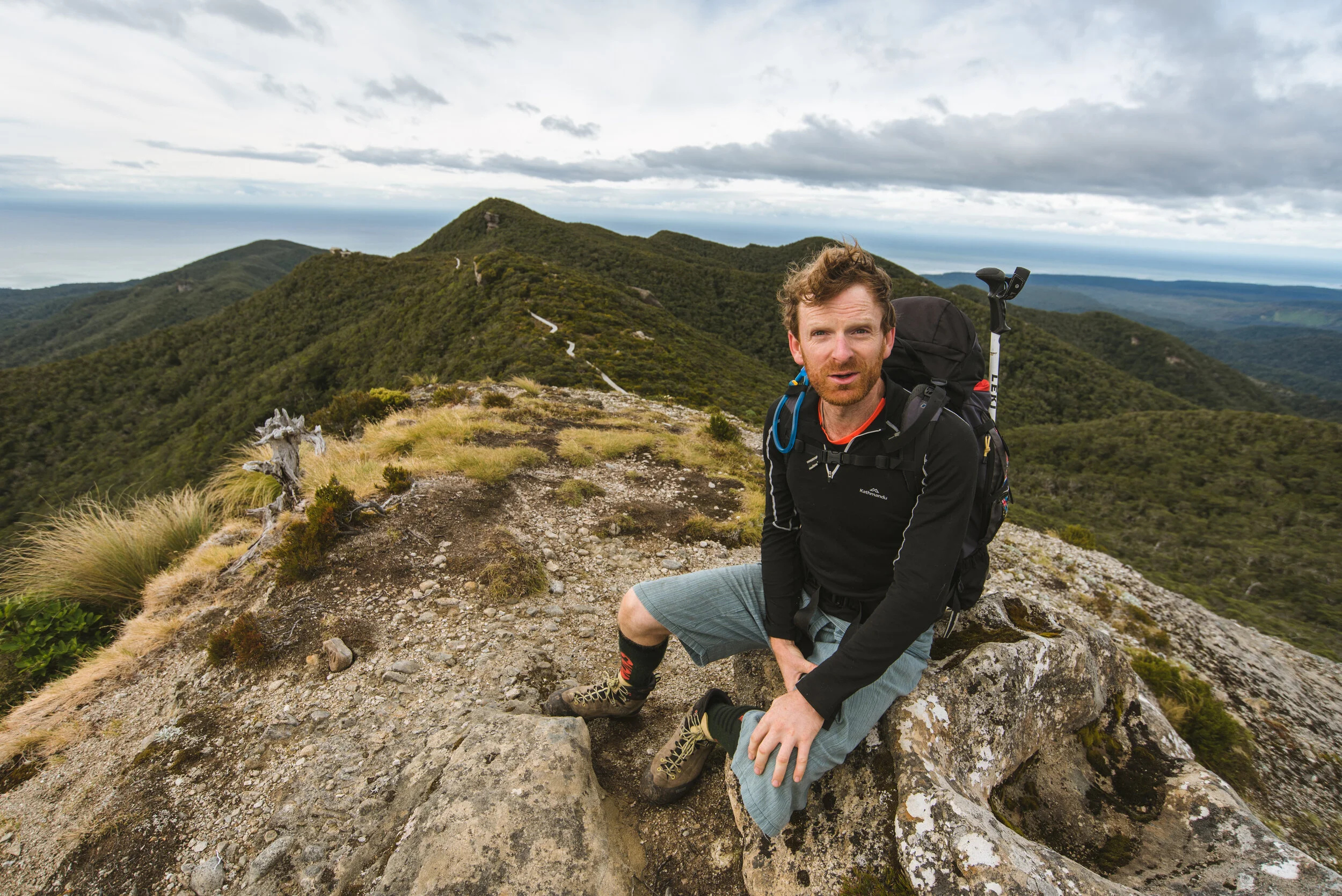
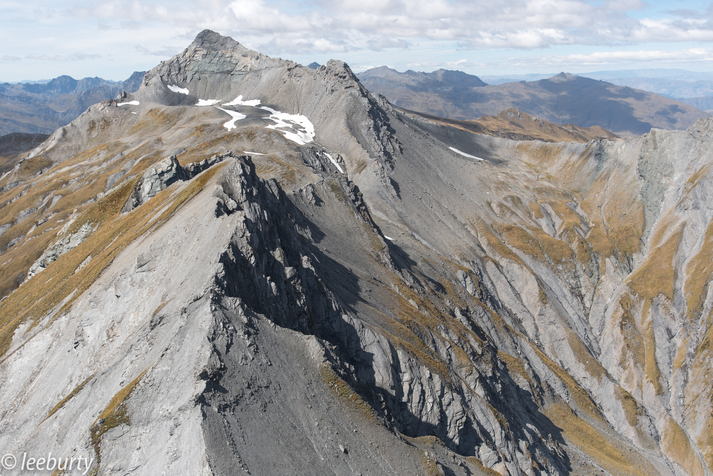
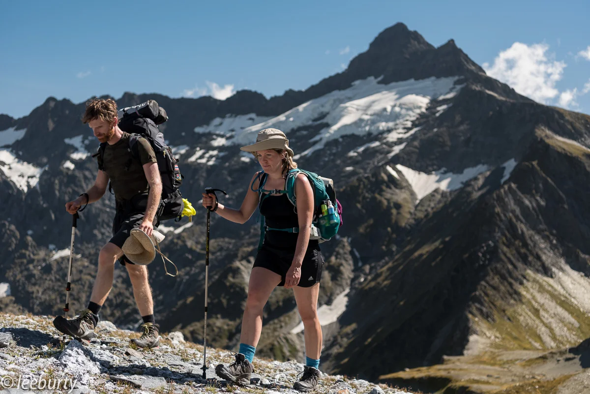
Day 2: The highlight of the trip, not only did we have the scale the notorious Waterfall Pitch but we would be surrounded by snow capped 2,000m peaks and sheer 500m faces, making us feel but mere rabbits in this vast towering landscape. Wait, maybe this is the answers to our quest, are we Rabbits of the Pass? We must push on to find the answer.

After leaving Top Faulks hut the path meanders onto the upper valley of the Wilkin South Branch, eventually the orange markers disappear to where we must follow our rabbit noses along the river bed into the heart of Waterfall Flat and to the base of the 90m face, Waterfall Pitch.

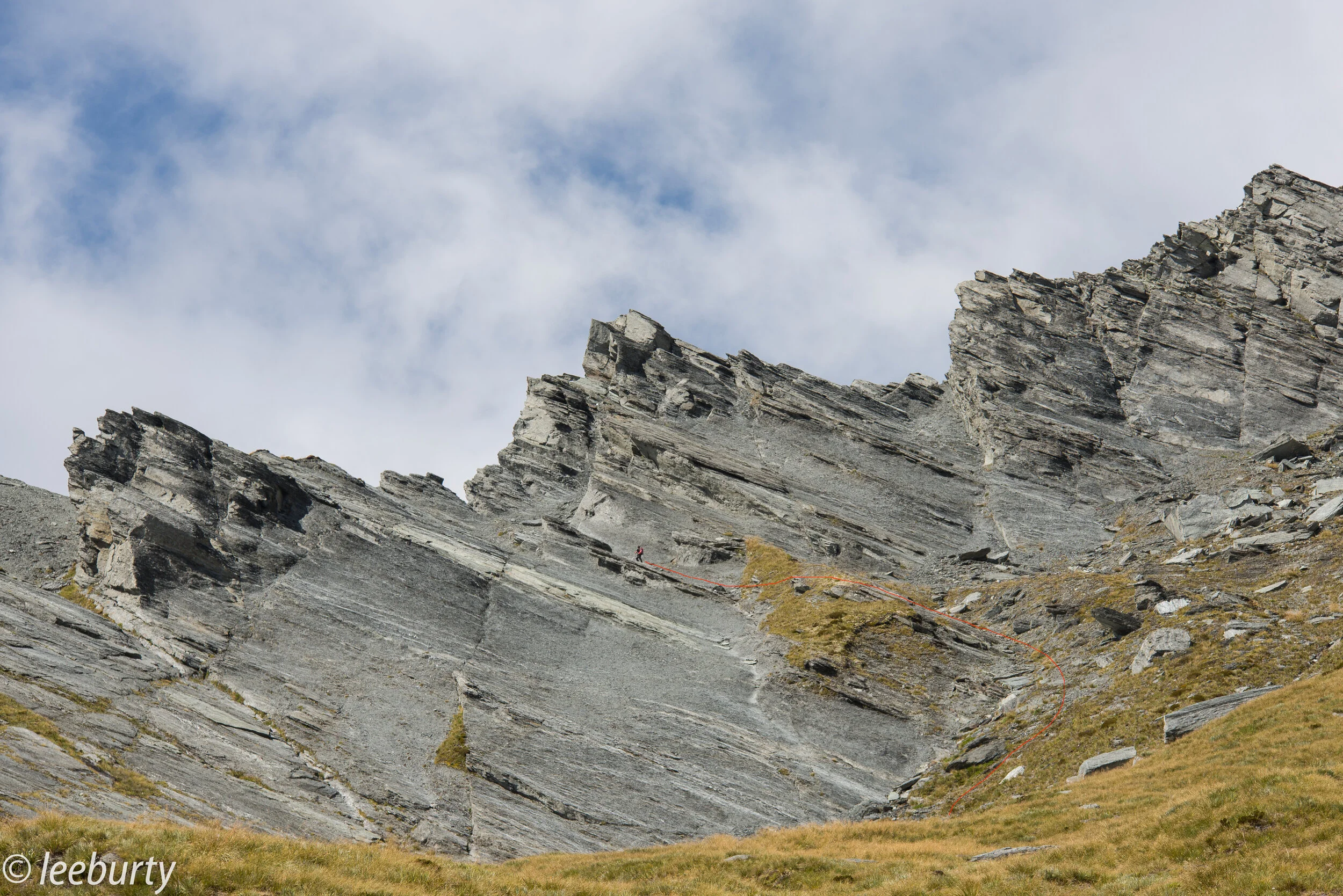
There was a lot of anticipation as we approached this notorious section of the walk, described by many as the crux of the hike. We took a deep breath and up we went, yes it was steep and exposed but there are well trodden foot holds and marker posts defining the track. We had glorious weather, no wind or rain only the intense UV to deal with, but in less than ideal conditions this section of the walk would be and has been fatal so this must not be taken lightly, as a slip on the tussocks is going to be near impossible to stop.

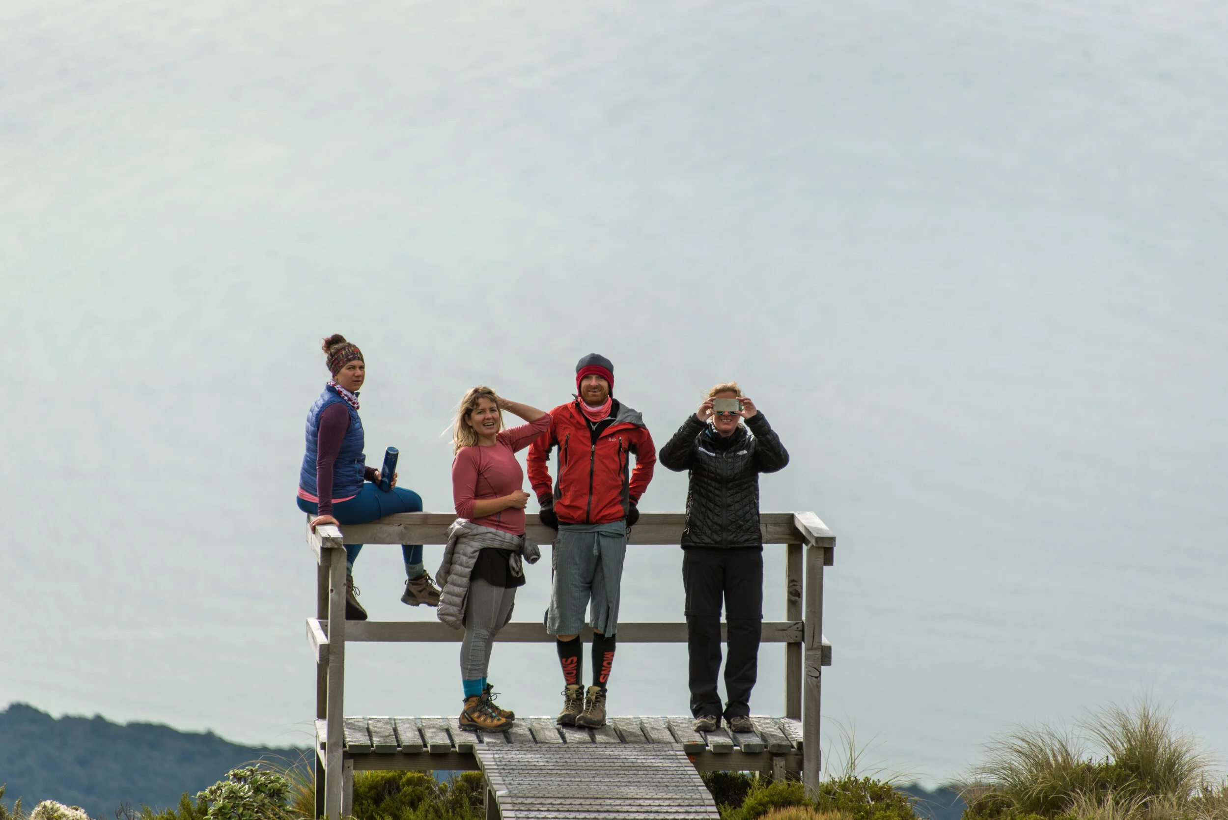
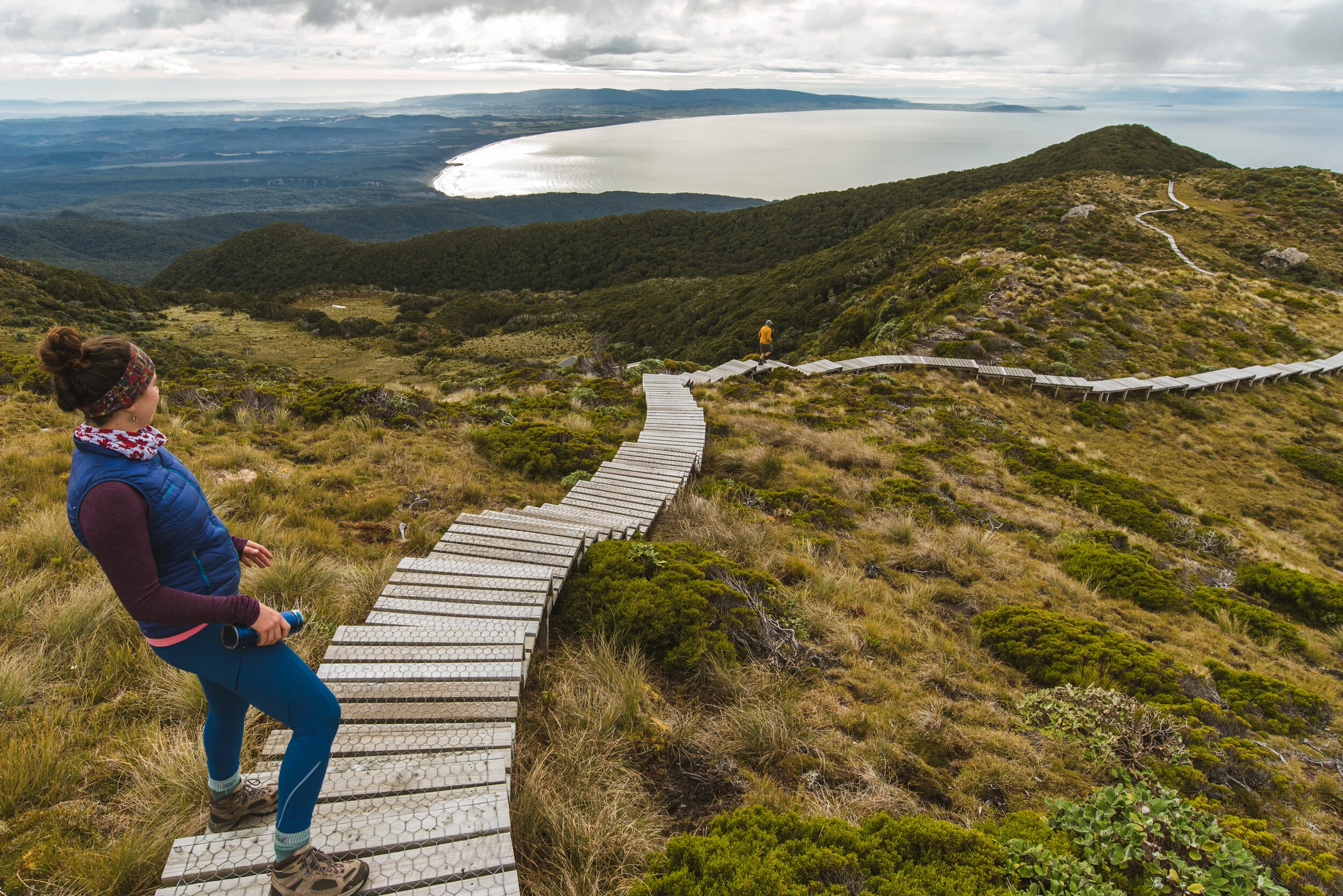
We reached the 90m top and from here the scree slopes stretched through the valley to the Rabbit Pass Saddle itself, from where we had our first glimpse of the Matuktuki East Branch and the way forward. The views from the saddle are spectacular, I'm so glad I hauled my full frame DSLR along with me.

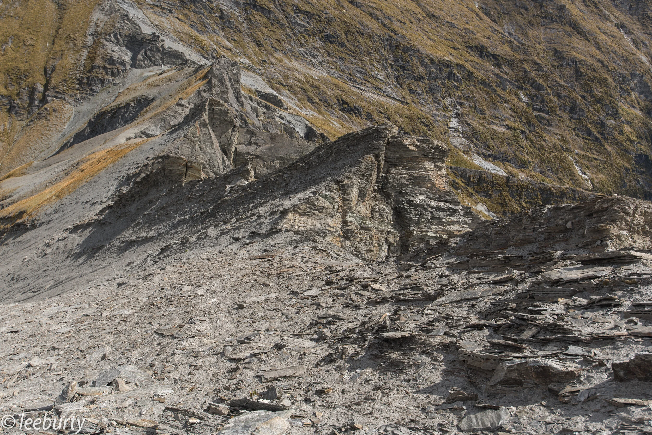
The descent off the saddle is something that took us all by surprise and we all agreed that it was the most treacherous part of the hike, more so than the Waterfall Pitch. Loose scree, big boulders and rocky outcrops took a lot of care and time to negotiate. We found our 20m webbing rope really useful for lowering our bags and then down climbing without the extra weight. This section of the walk is not to be underestimated.

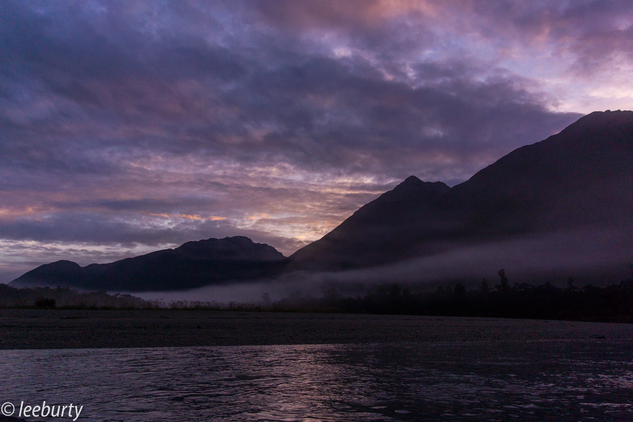
Once past the obstacle the long steep descent to the valley floor begins, as do the knees in thanking you for that extra bit of weighty luxury stashed away in your bag. The stream at the bottom of the valley was a blissful sight for all as we raced to fill our bottles before proceeding to find a campsite and end our 10hr day.

Day 3: A lot of parties may spilt this leg into 2 days but as soon as the words "Let's get a Red Star Burger from Wanaka" was mentioned we had no option but to push through the 11.5hr to the finish line. This day was hard, long and had one of the more gruelling sections of the walk to come, the Bledisloe Gorge traverse around.

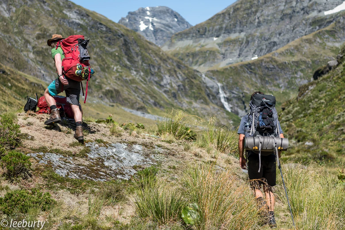
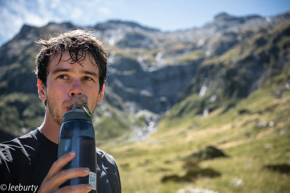
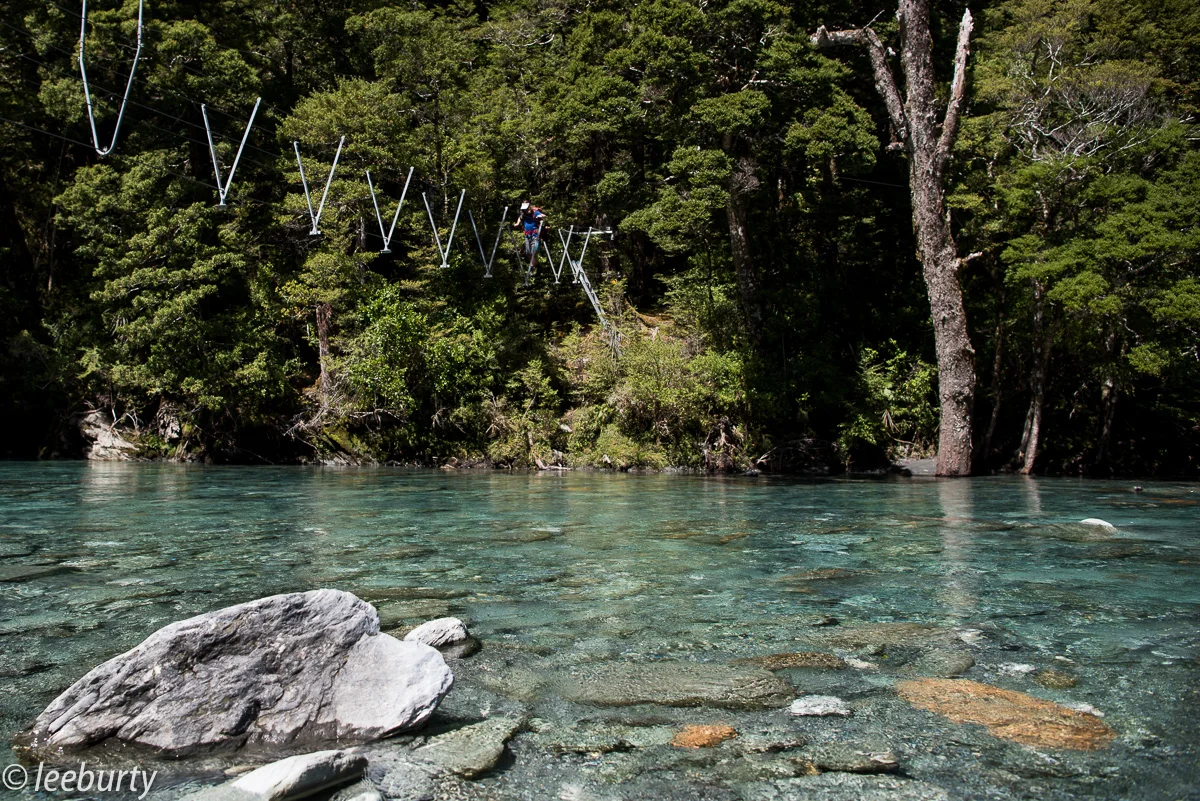
Before that though, we left our camp to follow the calm flowing river, there are a lots of river crossing here and it's inevitable that your feet are going to get wet if you are to make good progress. The walking was easy and relaxing, we soon reached Ruth Flat and the rewarding views of Fastness Peak and Tantalus Rock, what an awesome camp spot this would make. From Ruth Flat the Beech Forest took over and so did the never ending ascent through the forest and back onto the alpine tussocks, only to be greeted by an even steeper descent back to the valley floor. Mentally this was tough, even Nils, a vegetarian for 2 years was inches away from taking a bite of a spicy bierstick sausage pulled from my pocket for a moment of tasteful pleasure. That was one good sausage!

Eventually we reached Junction Flat, by this point the party had split up so Myself, Nils, Andy and Rory noodled up and hit the home stretch. By this stage I didn't give a toot about the rabbits anymore, infact I never even saw one....I just wanted to eat a goddam burger and time was wearing thin. We raced on through the cow pats and endless paddocks to eventually reach the Matukituki River, one last river crossing we told our wrinkled feet, one last crossing and then we would be at our strategically placed truck.

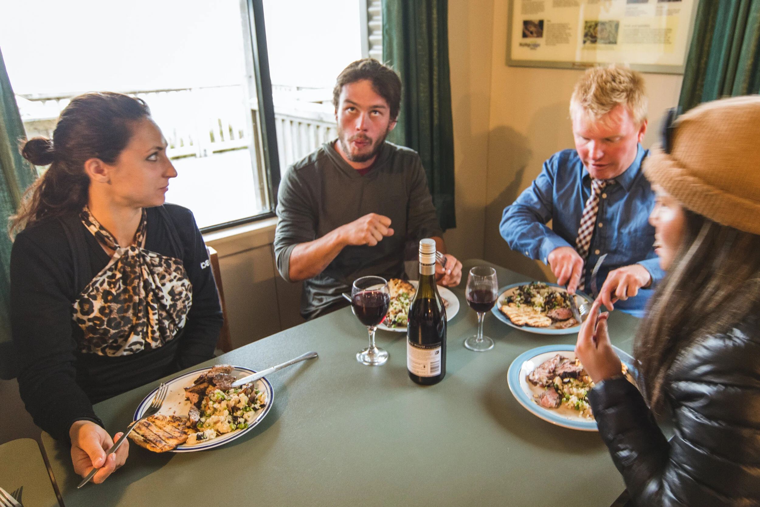
Our feet dragged past the finish line, hi-five we've done it, we have completed Rabbit Pass and still had time for a Red Star Burger. Boy, that burger tasted good, so good infact we had momentarily forgotten about Doug and Hannah who, unfortunately had to spend the night on the edge of the Matukituki River, only a stone throw away from the car as it was too dark to cross. All they had was a handful of lentils and a peanut. We all took a moment, bowed our heads.... and then continued engulfing our rewards.

Well done team

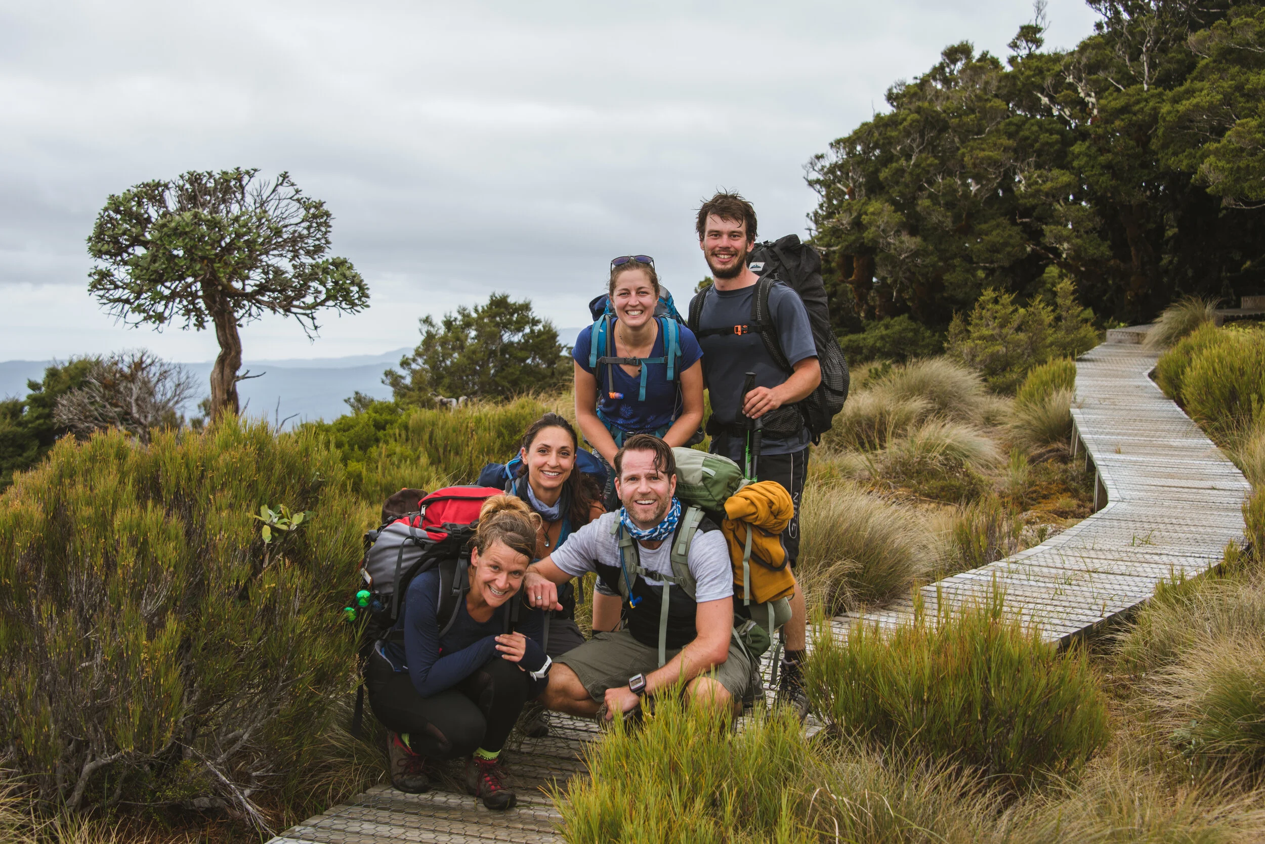
Crew: Lee, Nils, Andy, Rory, Doug, Hannah 3 days 5th-7th February 2016

RABBIT 1 5.06.02 PM-2

RABBIT 1 5.06.02 PM-2

Rob Roy Glacier - Mt Aspiring Hut

Long weekend, fine spells and new friends lead to the combination of two Wanaka Classic day trips in Mount Aspiring National Park. Firstly myself and Becca went up to Rob Roy Glacier (a must for anyone visiting Wanaka!) and then we headed back to the ute (yute!) to pick up the bikes to cycle deeper into the valley, for an overnight camp at Mt Aspiring Hut along with the rest of the gang. The following day, after a leisurely return ride and swim, we hit the shores of Lake Wanaka for a pleasant paddle out to Ruby Island.

Crew: Lee, Becca, Ed, Lois, Eliza & Nour. Rob Roy Glacier 3-4 hour return. Aspiring Hut 3hr return MTB. 6-7th February 2015

Rob Roy Glacier & Aspiring Hut

Rob Roy Glacier & Aspiring Hut

'The One' Base jump waterfall!

'The One' Base jump waterfall!

Rob Roy Glacier

Rob Roy Glacier

Waterfall

Waterfall

Rob Roy Swing Bridge

Rob Roy Swing Bridge

Bike Time

Bike Time

Mt Aspiring Valley

Mt Aspiring Valley

Mt Aspiring Valley

Mt Aspiring Valley

Mt Aspiring Valley

Mt Aspiring Valley

Mt Aspiring Valley

Mt Aspiring Valley

Mt Aspiring Valley

Mt Aspiring Valley

Mt Aspiring Valley

Mt Aspiring Valley

Mt Aspiring Valley

Mt Aspiring Valley

Mt Aspiring Valley

Mt Aspiring Valley

Mt Aspiring Valley

Mt Aspiring Valley

Camp Spot

Camp Spot

Camp Spot

Camp Spot

Mt Aspiring Hut

Mt Aspiring Hut

Return Journey

Return Journey

Mt Aspiring Valley

Mt Aspiring Valley

Mt Aspiring Valley

Mt Aspiring Valley

River Crossing

River Crossing

Mt Aspiring Valley

Mt Aspiring Valley

Mt Aspiring Valley

Mt Aspiring Valley

Swim

Swim

Reflection

Reflection

Poi

Poi

Biking

Biking

Canoe

Canoe

Lake Wanaka

Lake Wanaka

Ed Pack Rafting

Ed Pack Rafting

Kayaking

Kayaking

Canoeing

Canoeing

Lake Wanaka

Lake Wanaka

Ruby Island

Ruby Island

Ruby Island

Ruby Island

Ruby Island

Ruby Island

Motatapu Track - Fern Burn Hut

A short overnight camp heading up the Motatapu Track through the magical Beech Forests of the Stack Conservation Area and onto Fern Burn Hut. The great thing about this track is that it starts only a short drive from Wanaka, and probably the nearest DOC hut to town - but not necessarily the easiest to access! The walk begins through open farmland, alongside the Fern Burn Creek, before steadily reaching the outskirts of the Native Beech Forests, which to me is the best part of the track - especially in 25ºC+ heat! We stopped for a cheeky dip in one of the swim holes before continuing on over the ever steepening and narrowing track which finally leads us into the open exposed tussocks and onto the hut.

Crew: Lee, Allan, Anna, Kristi, Doug, Hannah, Nils, Tammy, Carol. 3 Hour each way. 24-25th January 2015

Route

Route

SAM_8155

SAM_8155

SAM_8137

SAM_8137

SAM_8142

SAM_8142

SAM_8156

SAM_8156

SAM_8161

SAM_8161

SAM_8173

SAM_8173

SAM_8177

SAM_8177

SAM_8180

SAM_8180

SAM_8192

SAM_8192

SAM_8193

SAM_8193

SAM_8198

SAM_8198

SAM_8200

SAM_8200

SAM_8203

SAM_8203

SAM_8206

SAM_8206

SAM_8208

SAM_8208

SAM_8211

SAM_8211

SAM_8225

SAM_8225

SAM_8258

SAM_8258

SAM_8259

SAM_8259

SAM_8263

SAM_8263

SAM_8266

SAM_8266

SAM_8268

SAM_8268

SAM_8279

SAM_8279

SAM_8282

SAM_8282

SAM_8290

SAM_8290

SAM_8309

SAM_8309

SAM_8326

SAM_8326

SAM_8335

SAM_8335

SAM_8339

SAM_8339

SAM_8341

SAM_8341